
Building type — Monuments
Documentation without touching the monument.
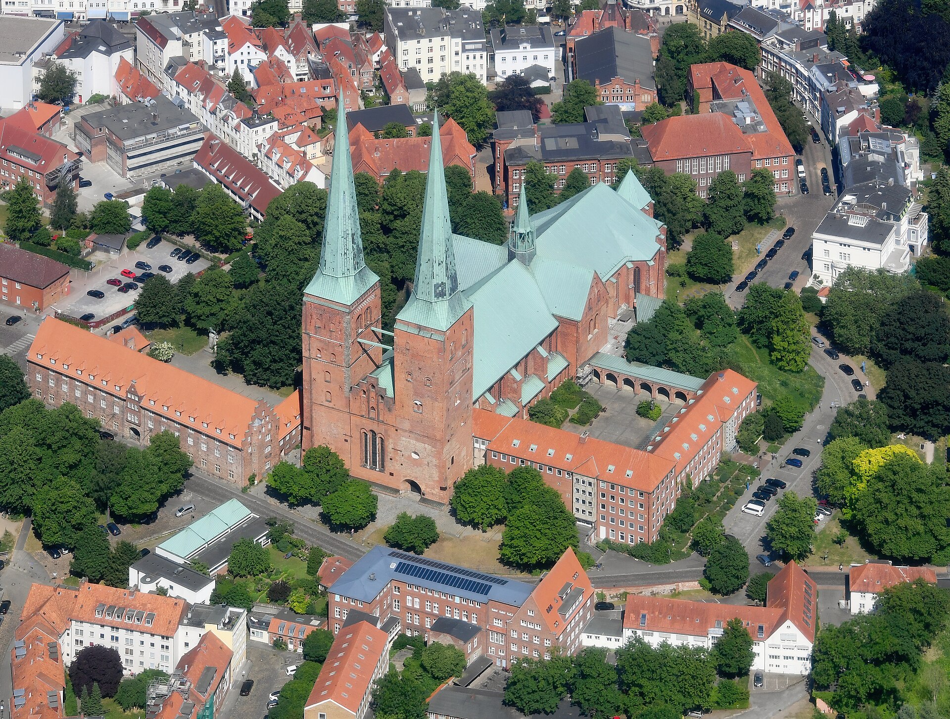
Churches, towers, ruins and memorials need regular condition records, but scaffolding a protected structure is slow, expensive and often restricted. A drone survey documents agreed visible areas from a safe distance and records coverage limits.
The challenge
What makes these buildings hard to look after.
Nothing may be touched
Conservation rules limit physical access. Drones survey entirely from the air — no fixings, no ladders, no contact with fragile fabric.
Funding requires evidence
High-resolution, dated imagery can support conservation planning and applications, subject to each authority's evidence requirements.
Decay is gradual and silent
Repeat photographs from recognizable viewpoints can help a reviewer compare visible change over time.
What you receive
A reviewed record, built for owners.
Non-invasive survey
Agreed visible areas captured from the air by certified operators, planned around visitors, services and access limits.
Structured condition record
Human-reviewed imagery and visible-condition scoring structured for maintenance and conservation discussions.
Quality-gated 3D archive
When reconstruction checks pass, an orientation model links the monument to its photographic evidence. It is not a measurement survey.
Pilot delivery
Quality gates come before publication.
Reports are human-reviewed. A 3D model is delivered only when the captured imagery and reconstruction pass the agreed quality checks. Scope and turnaround are fixed in the quote before the flight.
Find out what your building is really telling you.
Send us the location and a rough size. We aim to reply within one working day with questions or a fixed quote.
Request a quote