
Be in control of your property
We inspect your building from the air and give you a detailed report, tracking dashboard and 3D model.
Currently available in Europe
Build a dated exterior record for better maintenance decisions.
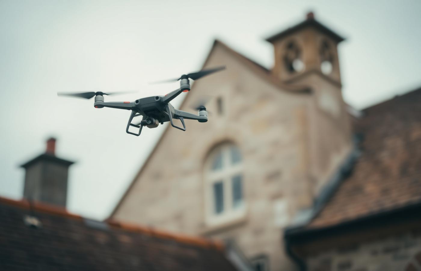
We fly & inspect
One or two operators capture the agreed visible exterior areas. No scaffolding or ladders are required for the aerial work.
We assess
A human reviewer assesses sufficiently visible agreed elements against photographic evidence and records unassessed areas.
You track
A private dashboard with the reviewed report, dated photo archive and, when quality gates pass, a 3D orientation model.
The dashboard
Your building, kept on file — properly.
Review captured exterior evidence in one place. When reconstruction quality checks pass, the 3D model helps orient that evidence around the building.
Check a sample report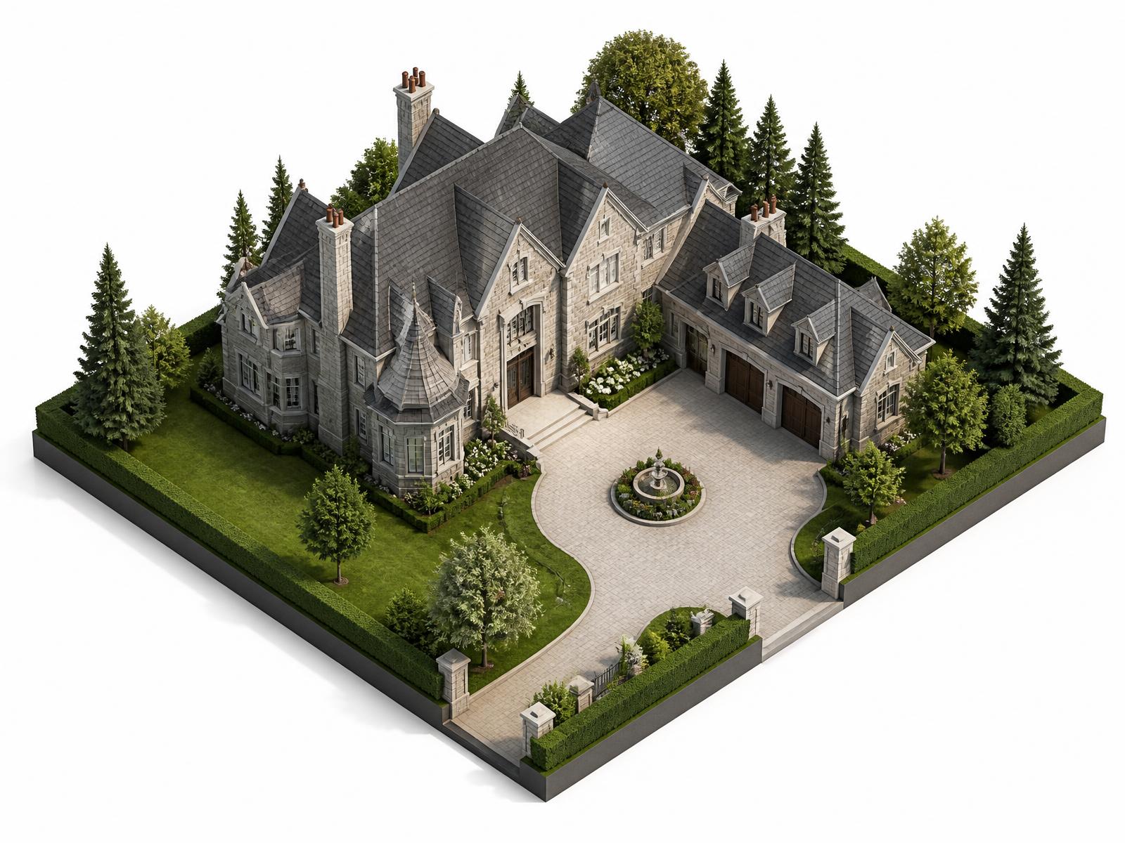
A quality-gated 3D model
When reconstruction checks pass, use the model for orientation and open the linked photographic evidence.
Per-element condition scores
Sufficiently visible agreed elements are scored 1–100, with reasoning and uncertainty recorded alongside the imagery.
Dated photo evidence
Captured exterior areas are photographed and dated, with inaccessible or insufficiently detailed areas identified.
Change alerts between scans
Compatible repeat inspections show reviewed score and evidence changes without replacing the original record.
Better evidence for hard-to-see exterior areas.
Drone capture can give owners and qualified specialists dated, reviewable evidence without claiming concealed condition, structural safety or guaranteed savings.
Earlier
Visible changes recorded
Dated evidence can support review before maintenance decisions are made.
Safer
Hard-to-reach views
Agreed exterior areas can be documented without putting a person on the roof.
Traceable
Evidence behind findings
Reviewed observations retain photographs, uncertainty and recommended follow-up.
Repeatable
Comparable viewpoints
Planned repeat capture can support review of visible change over time.
Capture scheduling and delivery timing are confirmed in the quote.
Small defects on large buildings do not stay small.
Blocked valleys behind parapets, cracked flaunching and weather-exposed pointing can be difficult to review from the ground. Dated aerial photographs can help qualified specialists decide what needs closer inspection or maintenance.
Repeat capture can make visible change easier to review. It also gives owners dated, consistent evidence for discussions with insurers, buyers and heritage advisers, subject to each recipient's evidence requirements.
Insurance
Evidence at renewal and after a claim
Sale
A dated exterior evidence record for buyers
Heritage
Documented maintenance for consents
From the illustrative sample
Certified operators
National drone licences held by both founders, with logged flight hours on heritage sites.
Fully insured
Public liability cover of €2m for every flight, documentation provided before we arrive.
Discreet on site
Two people, unmarked vehicle, no signage. Most households barely notice we were there.
Your imagery stays private
Not made public. Approved providers, retention and verified-deletion terms are disclosed before capture.
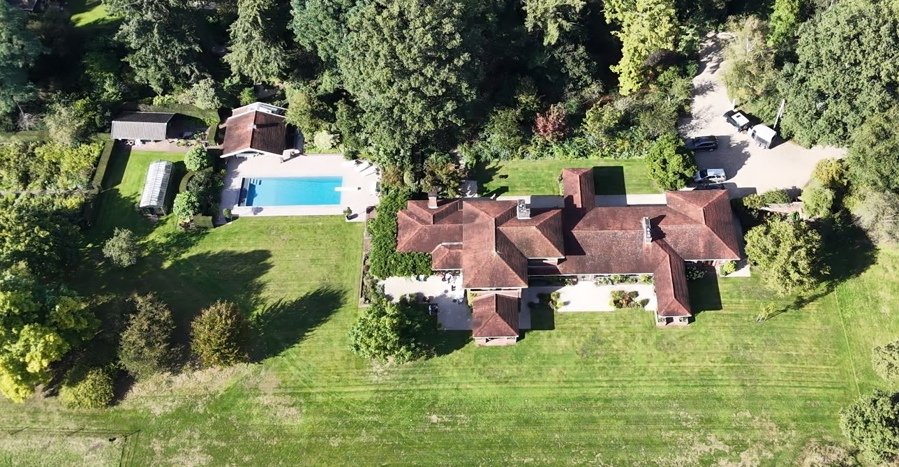
Illustrative country-estate sample dated 21 September 2026, supported by 36 detail photographs and an overview. Not a customer inspection.
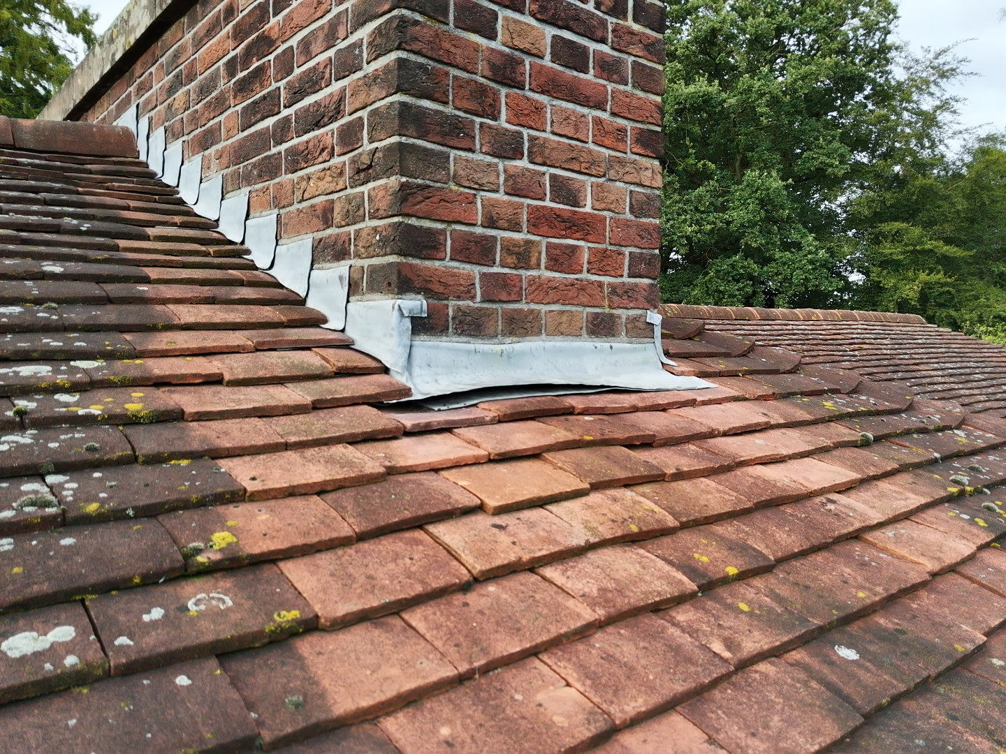
A raised chimney apron and an open-looking ridge fold were flagged for closer inspection. The photographs do not establish an active leak.
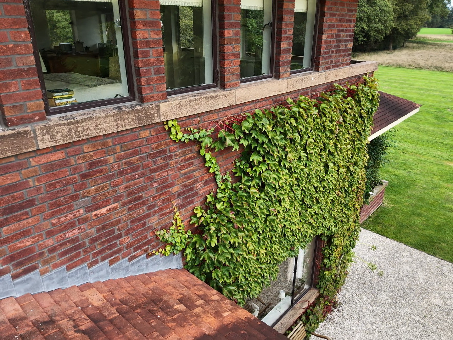
Selective pruning will expose concealed wall details. Inspect the newly visible areas before deciding on repairs.
FAQs
See an example report before you commit.
Get our illustrative sample PDF report, with condition scoring and prioritised findings. It is not a customer inspection.
Find out what your building is really telling you.
Send us the location and a rough size. We aim to reply within one working day with questions or a fixed quote.
Request a quote